In the seven-day period following Valentine’s Day this year, the Jackson Hole valley became blanketed in snow again, after enduring what I will call a “brown-out” during late January and early February. Six inches of settled snow depth was reported at the Jackson Climate Station at the end of last week.
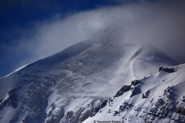
The mountains picked up about four more feet of snow. By February 21st, settled snow depths on the upper mountain stood tall, at 100 inches. That’s 10 inches more than the average for this time of year.
As far as temperatures, well, they went backwards. We got used to seeing highs in the 40’s in late January and early February. Last week they dropped back down, with highs only in the teens and twenties. Along with, a few days with morning low temperatures in the single digits below zero, like we haven’t had since New Year’s Day.
This year, it was more like January in February. Which does not surprise me. February has been known to have some kick-ass weather. We only need to look back to last year’s storm to know that much.
In this post, I will look back at the three wildest February’s that I can recall since I came to Jackson Hole over 35 years ago; those were: 2017, 2000, and 1986. Each of these had unique and quite severe weather, during a month when winter is supposed to be going into its waning phase.
February 2017
In early February 2017, we experienced what has been called the “Storm of the Century” for Jackson Hole. It began right around Groundhog’s Day. On February 7th, the “big blow” took down the powerlines along the Teton Village Road.
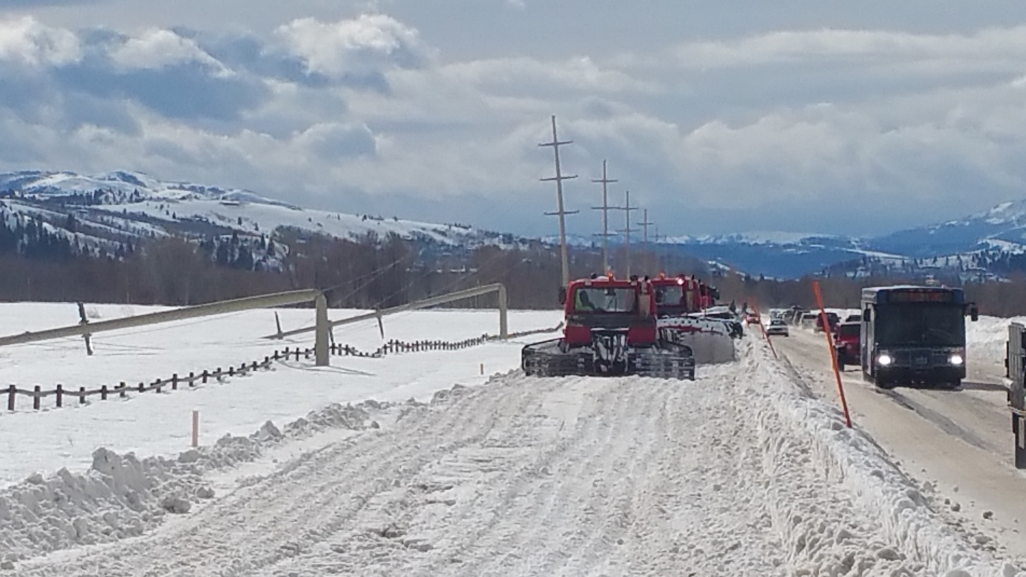
That wind was just a part of a storm cycle that spanned the first 11 days of the month. In that period of time, over 3 inches of water equivalent was recorded in the valley and 10 inches of water equivalent in the mountains. Which translated to 17 inches of snow in town and 92 inches of snow at the higher elevations in the mountains.
Last February went on to break the precipitation record for the month of February in town, with 5.75 inches of water recorded at the Jackson Climate Station. That’s over two inches more than the previous February record.
February 2017 also broke the all-time snowfall record for February at the Jackson Hole Mountain Resort, with 149 inches of snow recorded at the Rendezvous Bowl weather station. The old record was 134 inches from just a four winters ago, in February 2014. An “average” February on the mountain sees 69 inches.
February 2000
It was on February 14th, 2000 that we had the St. Valentine’s Day storm. That storm was pretty much a one-day wonder, but it packed quite a punch. On the morning of February 14, 2000, a vigorous low-pressure system was moving inland across Idaho. It snowed hard in Jackson early that morning, but changed to rain by afternoon in the valley.
A strong cold front then moved across eastern Idaho in the late afternoon, with severe thunderstorms developing, along with tornadoes, which took down transmission lines in eastern Idaho, resulting in a power outage Valentine’s evening in Jackson.
Thunderstorms passed through the Jackson Hole area, also. Colder air changed the precipitation from rain to sleet to hail, and then to big, fat, heavy, wet snowflakes. This was a rare “thundersnow” event for Jackson Hole. Strong downdrafts of wind were also reaching a peak as these thunderstorms moved through.
Wind speeds averaged over 40 mph, with gusts topping out at 66 mph at the Jackson Hole Airport. Visibility was reduced to near zero around the valley in heavy snowfall, and blizzard conditions existed over the mountain passes.
Winds at the top of the tram were honking at a steady 50 mph, with gusts over 90 mph. When it was over, 17 inches of new snow containing over one-inch of water was recorded at the Jackson Hole Mountain Resort on Valentine’s Day 2000.
February 1986
Last but not least, the storm period we had here between February 12th and February 23rd, 1986 was in many was more intense than the February 2017 storm cycle. Total precipitation in town during that period exceeded four inches.
At the Jackson Hole Mountain Resort, for that 12-day period, there was 110 inches of snow accumulation on the upper mountain, and that snow contained 12.50 inches of water.
That intense February of 1986 storm period produced 18 more inches of snow in the mountains and 2.50 more inches of water than what we received, in roughly the same number of days, as the storm in February 2017.
While we tend to start thinking about milder weather in February, the reality is, it can still get pretty darn western here.
Jim is the chief meteorologist at mountainweather.com and has been forecasting the weather in Jackson Hole and the Teton Range for the past 25 years.
Note: Content for this post first appeared in the Jackson Hole News & Guide’s Mountain Weather column on February 28, 2018.