Current Satellite, Radar, Surface & Upper Air weather maps for the State of Alaska. Plus: Forecast maps for the state and National Weather Service links.
Satellite & Radar
Satellite

GOES-18 Satellite
- Alaska IR
- Alaska WV
- Alaska GeoColor
- N. Pacific GeoColor
- GOES-18 Slider-IR
- GOES-18 Slider-WV
- GOES-18 Slider-GeoColor
Other Satellite Sources
Radar
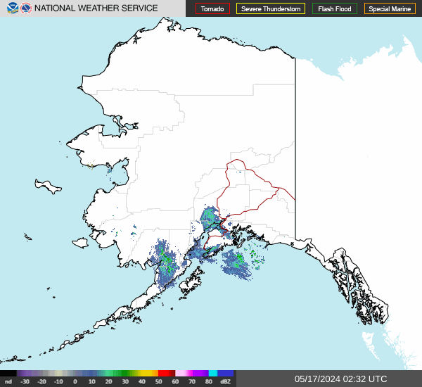
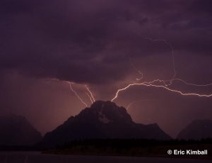
Click for Alaska Lightning Map >>
Current Maps
Surface Maps
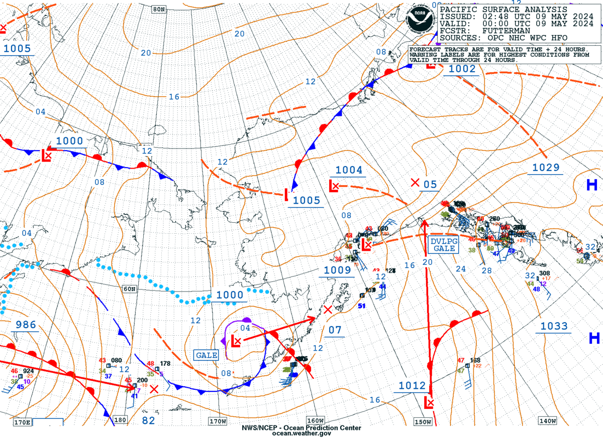
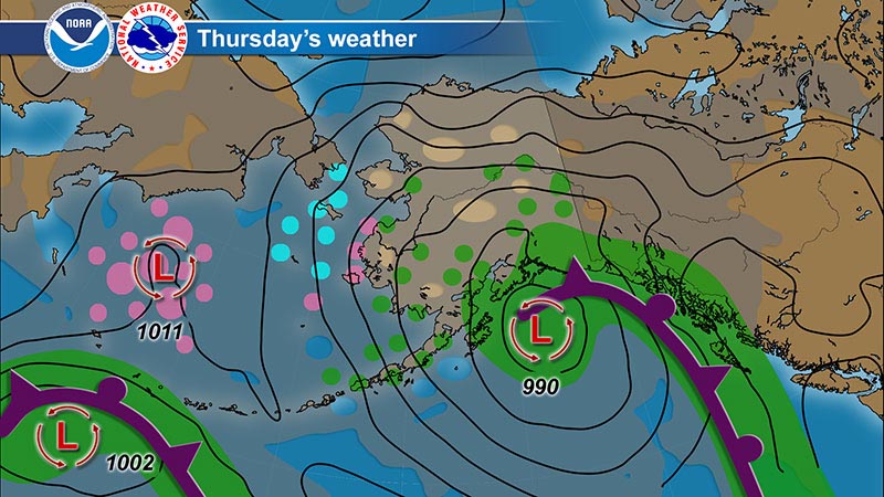
Surface Maps
- NWS SFC Map Zoom
- 7-Day SFC Map Loop
- North Pacific Analysis
- SFC Analysis +Forecast
- AK Weather Depiction
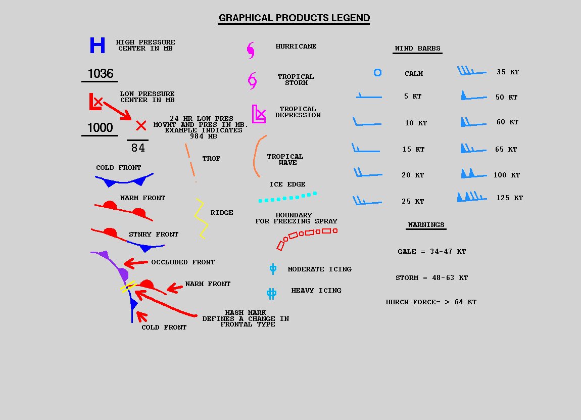
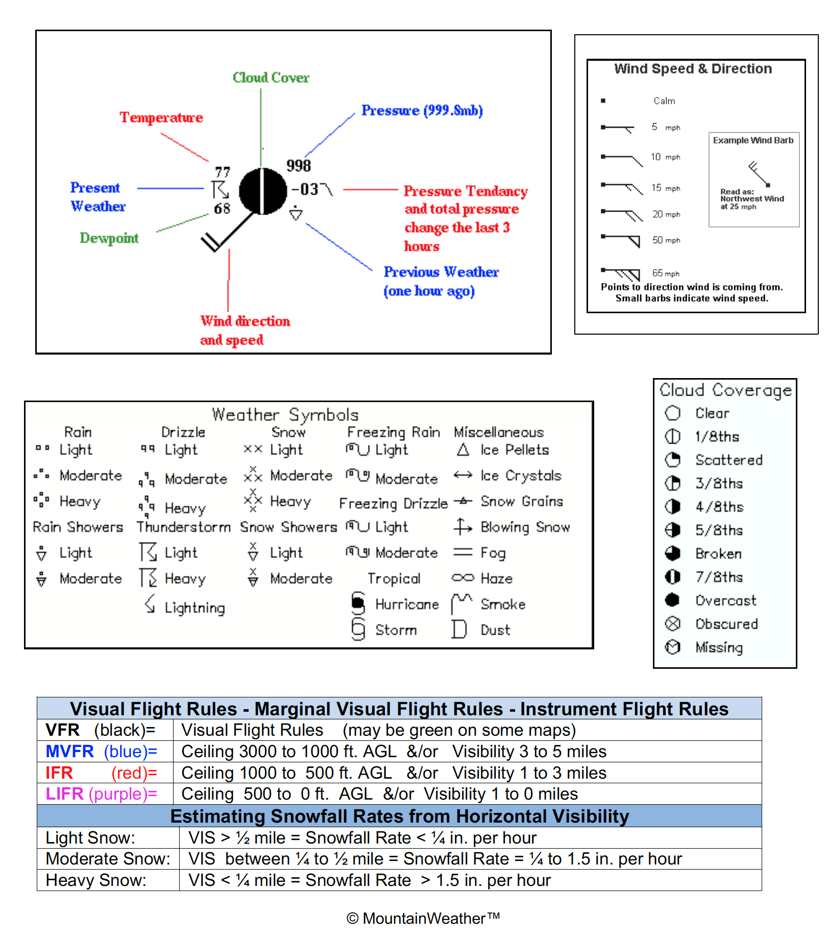
- Map Symbols
Surface Obs Maps
- Alaska Surface Obs
- Alaska Hourly Obs
- NWS Obs Map
- MesoWest Map
- SFC Map Decoder
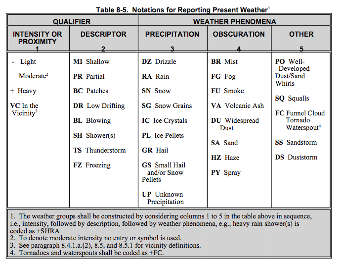
- Obs Codes
- Wx Station IDs
- Synoptic Data Viewer
- AOOS Obs Map
- All AK Station Summary
- NOAA Buoy Data Center
Snotel Data
Terrain Maps
Upper Air Maps

Upper Air Maps
250 to 300mb
500mb
700mb
850mb & SFC
- 850mb-Global Wind Map
- 850mb w/Satellite
- 850mb Temp & Wind
- 850mb RH
- 850mb N.A. View
- SFC-Global Wind Map
- SFC w/Satellite
- SFC Temp & Pressure
Other Links
Click for Alaska FAA Webcams >>
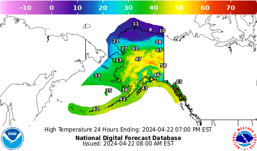
AK Forecast Products
Forecast Maps
NWS Forecasts
Other Maps
Forecast Discussions
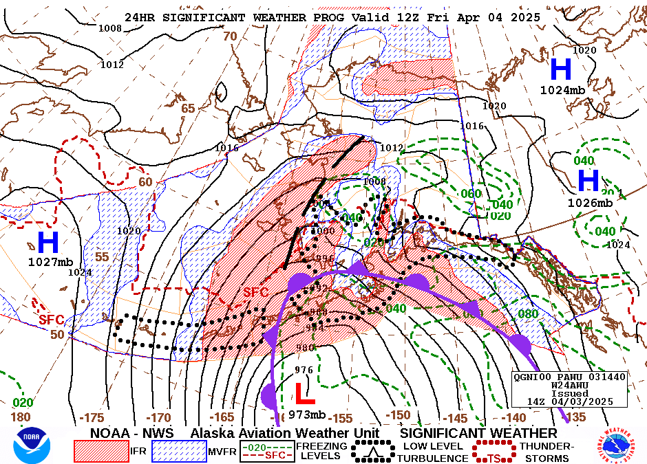
Aviation Maps
More Forecasts & Reports
Alaska WAM
How to Use this Map
- This map can be used to access Current Weather conditions and Point Forecasts for each specific location.
- Current Weather observations are in 2 formats. …NWS & MesoWest.
- NWS Point Forecasts have 2 formats to choose from.
- Chose the NWS Graph button for the most detailed forecast info: hour by hour temps, winds, windchill, cloud cover, precip & snowfall amounts, etc.
- Use the Magnifying Glass icon to get a forecast for any location. It will stay in the center of the map as you move the map around. Zoom-in for a more precise location.
Road Reports
More AK Links
More AK Weather Pages
Avalanche Forecasts
Ski Reports