Posted: Thursday, May 24th, 2018
by meteorologist Jim Woodmencey
After some rainy weather Wednesday, due to a moist and unstable airmass over the western Wyoming, we will finally see some drying the next couple of days. However, do expect some shower activity to return over the Memorial Day Weekend. Best chances for some showers & afternoon thundershowers will be over the mountains, late Saturday thru Monday afternoon.
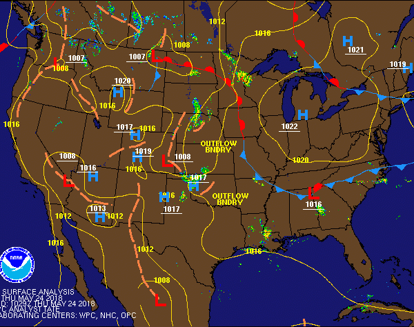
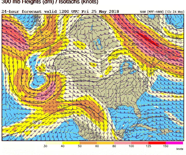
Why?….Because weak Low-pressure over the Northwestern U.S. will be replaced by weak High pressure on Friday, that sticks around only briefly, bringing the nicest weather. Then an upper level Low-pressure center off the West Coast will move inland and sit over Nevada & Utah later Saturday into Monday, Memorial Day.
Not a ton of moisture evident directly over JH with that approaching Low , but enough to generate some showers, and some chance of scattered thunderstorms, especially afternoon and evening hours as temps will be warmer, 70’s in Jackson Friday & Saturday. Upper 60’s Sunday & Monday with more cloud cover.
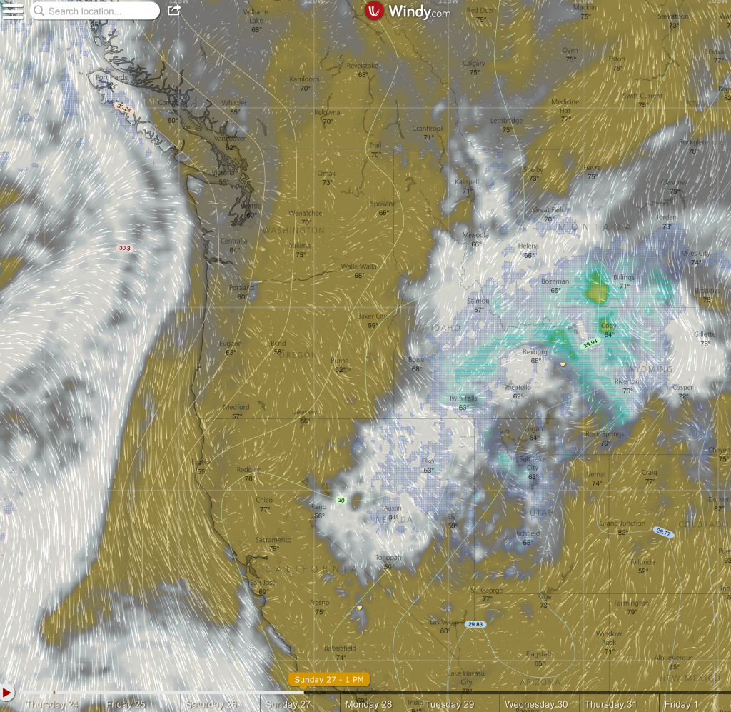
Click on the map below to view a cloud & precipitation forecast from the Euro-model, (courtesy of Windy.com). Check it out. Gray is percent cloud cover, the greens/blues are precipitation.
Links to more forecast maps & models can be found on these two pages:
USA Forecast Maps