 |
| Meteorologist Jim Woodmencey |
After 6 days in a row of nearly perfect summer weather around Jackson Hole…..sunny skies and highs in the valley in the upper 80’s……from last Thursday (July 18) through Tuesday (July 23), we are finally going to see some changes over the next 6 days. Nothing radical, but we will go from absolutely no chance of thunderstorms to at least a possibility of some thunderstorm activity in the coming days.
We begin to make the switch from an extremely dry and stable airmass to one that is a little moister and more unstable. This new mass of air is a combo of some leftover disturbances that have been causing thunderstorms & heavy rainfall in parts of Arizona & Southern California (where they needed it!). And there may be a little remnant of the monsoon mixed in there also. That airmass has made it over Nevada and Utah will drift closer to us and provide the necessary ingredients to produce some thunderstorms.
(See Sat Photo and today’s weather map below).
This is not a true “monsoon” flow, which would be coming up more directly from the South. This moisture has basically drifting up around the periphery of a Ridge of High pressure that has been over the Southwest US this past week. That is now working itself into a very light Westerly flow aloft over Southern Idaho and Western Wyoming. That will bring an end to the extremely dry and cloudless conditions we have seen.
How Dry Was it?
The instrument at the Jackson Hole Airport bottomed out at 7% relative humidity on Monday. The Town of Jackson weather station showed 9 % RH. And I had a guy named Joe, who lives in a van down by the Hoback River (who happens to have a nice home weather station!) and he reported a Relative Humidity that registered as low as 0.04%.
Trust me, that is about as dry as you can get, even by desert standards. That extreme dryness was part of the cause of the haze we have had around here, in combination with dust and pollen in the air, and a bit of smoke mixed in from forest fires in Idaho that has drifted over us.
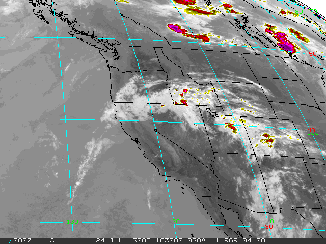 |
| Infra-Red Satellite Wednesday morning, July 24, 2013 |
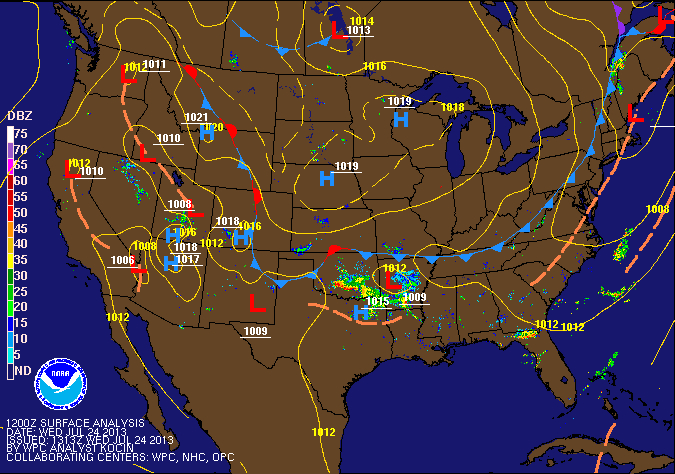 |
| Surface Weather Map Wednesday, July 24, 2013 |