 |
| Meteorologist Jim Woodmencey |
Lots of SNOW & wind for Jackson Hole, ski areas and weather instruments around the mountains reporting 20 to 26 inches of new snow from Friday night through Monday morning in the Teton Mountains.
But, this is not technically a big “storm system”. It is a STORM, and we are getting very stormy weather…..but it is not being generated from a typical low pressure system, or what we would call a storm system.
This is a strong Northwest Flow aloft that is carrying moisture over the top of a Ridge of High pressure that is parked over the Western U.S.
Yes, this is sometimes referred to as a “Dirty Ridge”, when moisture rides over the northern periphery of the Ridge axis and causes some weather, rather than the clear skies we normally experience when directly underneath the Ridge itself (like California is right now).
There is no Trof of Low pressure in the upper atmosphere anywhere nearby. Just a weak surface Low pressure over Montana.
But this is one of the best ways to produce snow in the Tetons, with a very moist and strong NW flow.
— 700mb map and Satellite photo shows flow and moisture (RH) in that flow.
— Surface Map shows the overall weather pattern with High pressure to south & west of Wyoming, and a stationary front east of the Continental Divide, with warm air to the west of that line and colder air to the east of that line.
— Snowfall forecast map is for Monday morning thru Tuesday morning.
Good snow producer across the northern Rockies. Nothing going on to the south of Idaho or Wyoming with this current flow.
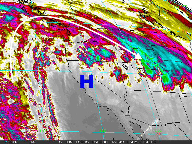 |
| Infra-Red Satellite 0800 MST 05JAN15 |
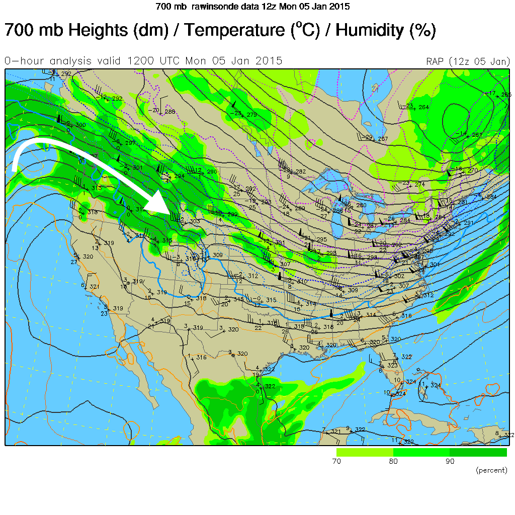 |
| 700mb or @ 10,000-ft. 0500 MST 05JAN15 |
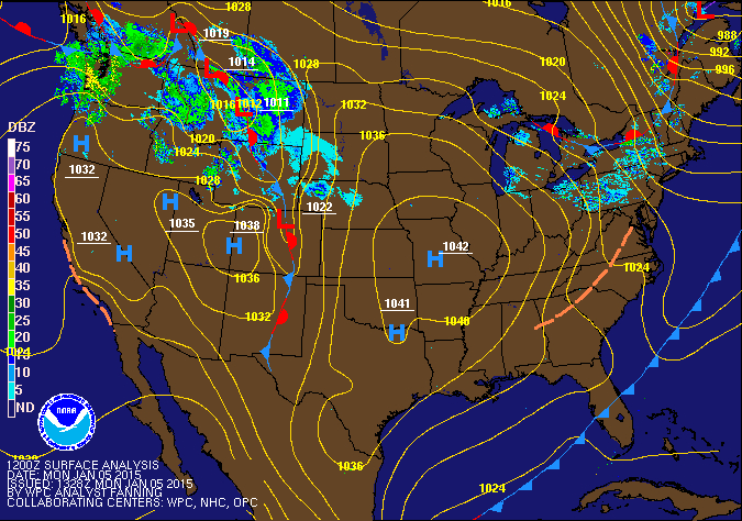 |
| Surface Map 0500 MST 05JAN15 |
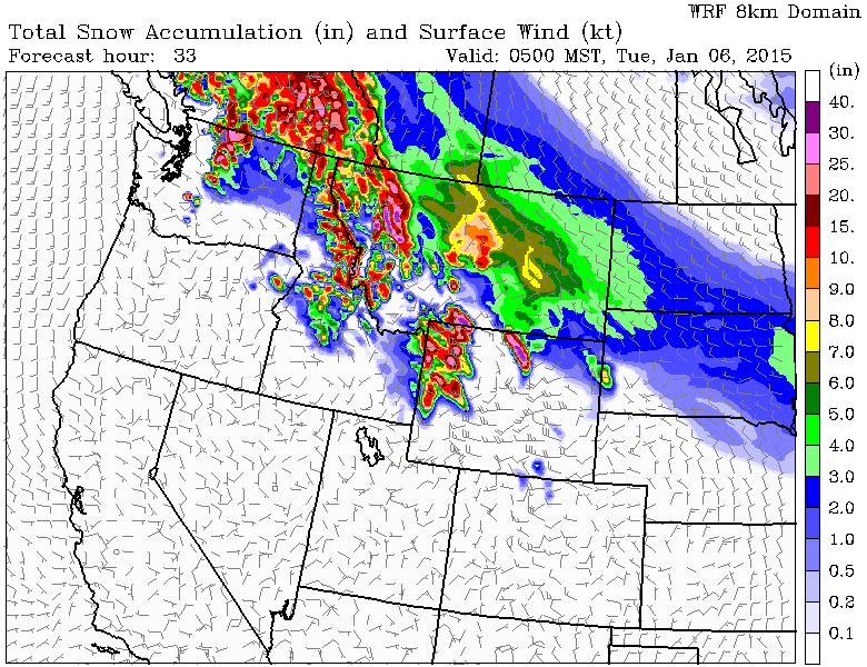 |
| Snowfall forecast map 05 to 06 JAN 2015 |
Posted by meteorologist Jim Woodmencey
05JAN15