Happy Fourth of July…. get outside and celebrate America’s Birthday!
A weak upper level disturbance moves by to the north of Jackson Hole this afternoon and evening, bringing a little bit of mid-level moisture and unstable air over Northwest Wyoming.
Expect some cumulus cloud build-up and some scattered thunderstorm activity around the Yellowstone & Teton Park regions later today. But that is probably the only weather to worry about for the rest of the Fourth of July week.
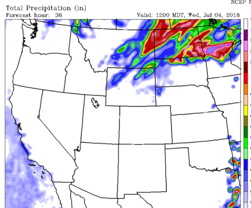
Below is the Accumulated Precipitation Forecast for Tuesday morning to Friday morning (July 3 to 6) for the Western U.S.
Click map to view loop:
Cooler temps Tuesday, then warming up Wednesday thru Friday as a broad Ridge of High-pressure builds over the Rockies. Looks like great weather for the Fourth of July and the remainder of the week.
Below is the Precipitation Type and Probability Map for the entire USA on July 4th, 2018:
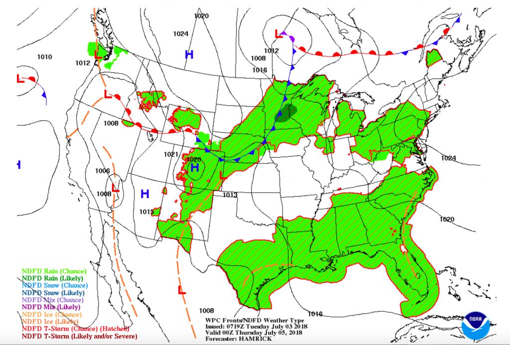
No signs at this point of any measurable precipitation Wednesday thru Sunday, although over the weekend we may start to see a few more clouds building in the afternoons.