A very cold Low-pressure system will be rolling across the Pacific Northwest & Northern Rockies this week, just in time for the first day of summer. The Summer Solstice is this Friday, June 21st and afternoon high temperatures will be running about 15 to 20 degrees below normal. And, yes, we may even see a little snow!
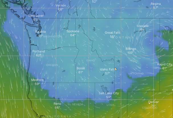
Click on the map below to watch the progression of the cold air as it sweeps across the Northwest U.S. This map is at the 700mb level in the atmosphere, or around the 10,000-ft. elevation. (Blue-green boundary is the freezing mark). Temps in the Tetons at 10,000-ft., for instance will get down into the lower 20’s Fahrenheit.
COLD AIR COMING….
Get the updated temperature forecast for the next 5-days, for the Jackson Hole valley and the Teton mountains on the Jackson Hole Forecast.
Snow on The Summer Solstice?
While it will certainly be cold on Friday for the Solstice, it does not look like much precipitation for the Jackson Hole area. The Tetons may get a little bit of fresh snow, and there will be the possibility of a few flakes to the valley floor.
How unusual would that be to have snow around the Summer Solstice? Pretty unusual. Although, on June 18th, 1973 the Town of Jackson received 4 inches of snow from a cold, late June, storm system.
Also expect some strong winds Wednesday & Thursday, out ahead of the arrival of that cold air. Good news is, we start warming back up later Saturday and on Sunday.
Post by meteorologist Jim Woodmencey