All posts by Jim Woodmencey
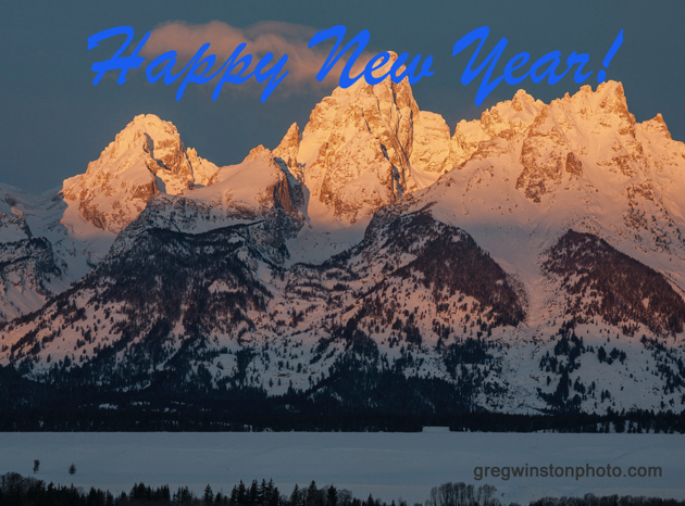
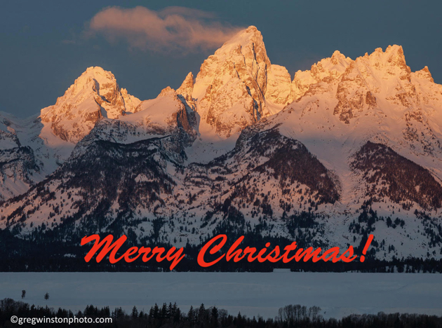
Merry Christmas 2024
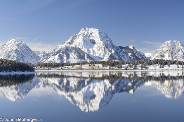
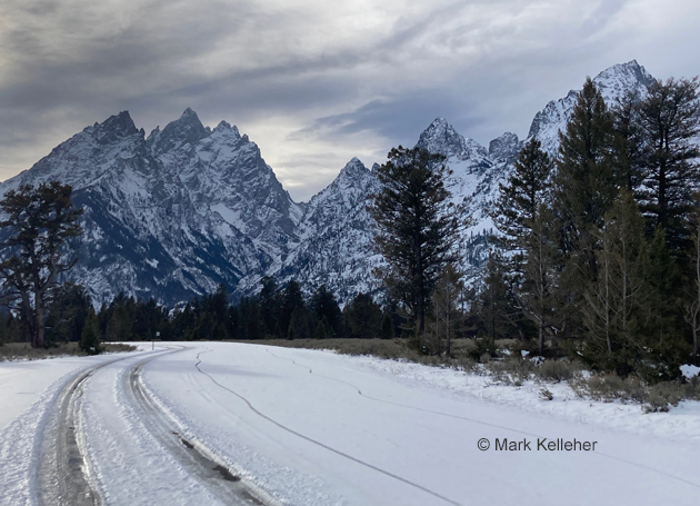
Mt. Moran December
Winter Outlook 2024-25
It’s Thanksgiving week and time to update the winter outlook for the coming months, as snow enthusiasts anticipate the powder yet to come. I’ll start with the latest outlook from NOAA for December through January, issued on November 21st, 2024.
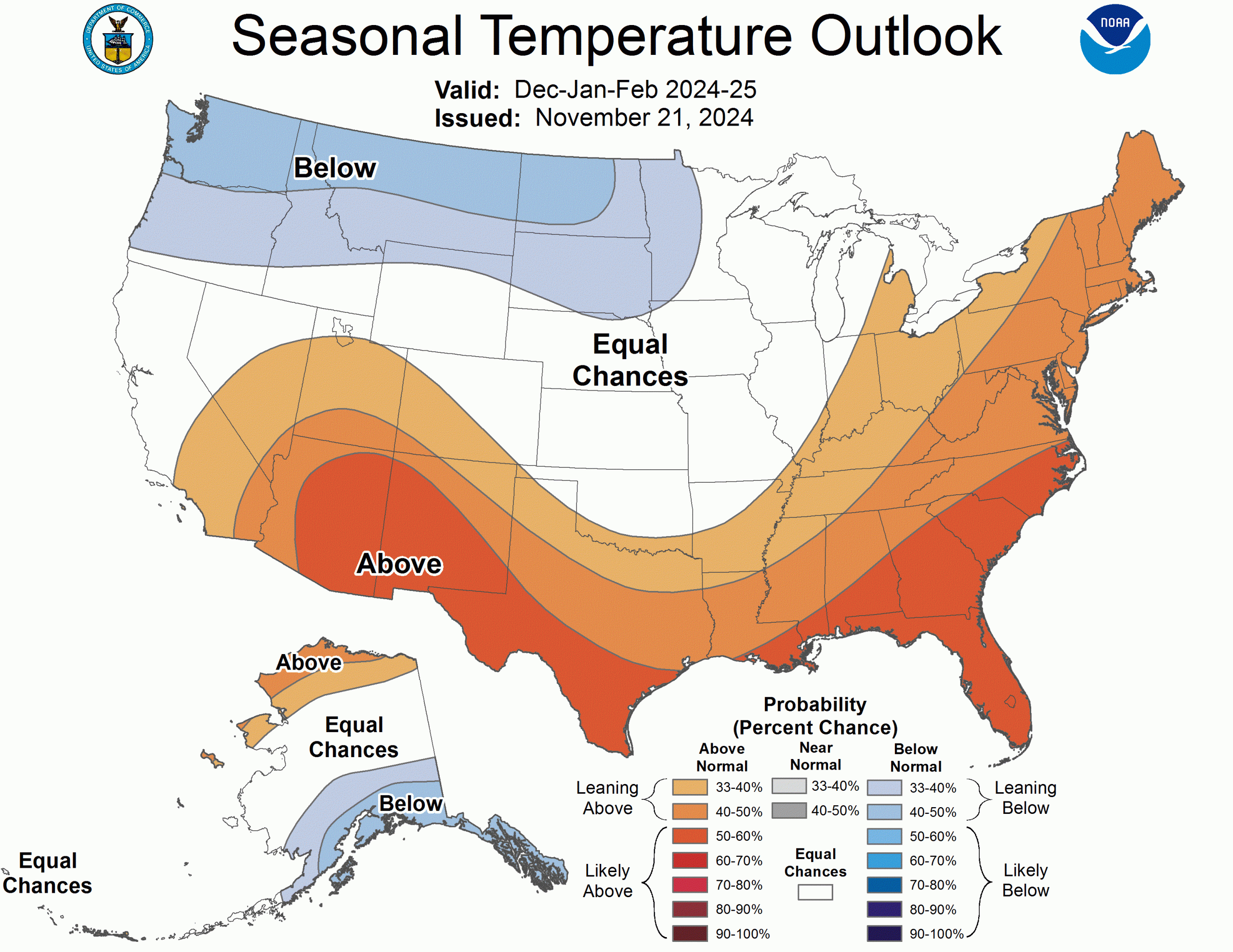
NOAA’s Outlook
The long-range outlook from NOAA’s Climate Prediction Center for December 2024 through February 2025 shows that southern Idaho & most of Wyoming will have “Equal Chances” this winter for temperatures. The Equal Chances category means that the odds are the same for having above normal, below normal, or normal conditions. Below normal temperatures are expected for the northern tier of Wyoming & Idaho and for all of Montana.
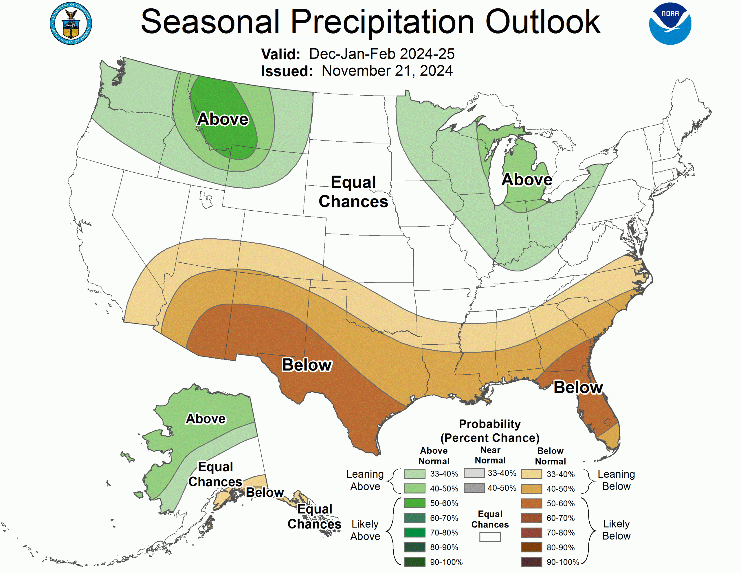
Precipitation is expected to be in the above normal category for Northwestern Wyoming, as well as most of Idaho & Montana.
ENSO Forecast
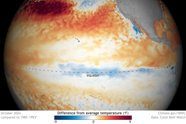
El Nino is one phase of ENSO, the El Nino Southern Oscillation. An El Nino condition is when sea surface temperatures in the Equatorial Pacific are warmer than normal. A La Nina occurs when those temperatures are colder than normal. Both El Nino and La Nina have some effect on the weather patterns that develop across the Pacific Ocean, primarily during the Northern Hemisphere’s winter season.
Last winter (2023-24) was an El Nino winter. Usually, the odds are that El Nino winters won’t produce above average snowfall here in Jackson Hole. So, it depends on how you look at last winter, but it turned out OK in the end, with well above average snowfall in town (96 inches vs. 61 inches, for December through March) and just above average in the mountains (360 inches vs. 312 inches, for December through March).
Currently ENSO is in a neutral condition, a.k.a. “No Nino”. The ENSO forecast is for a weak La Nina to kick into gear anytime now….they give it a 57% chance now. But it was supposed to start sometime between September and November, and last through January-March of 2025.
Typically, a La Nina will favor more precipitation and more snow during the winter months over the northern tier of the United States, including Western Wyoming, while the Southwestern United States is generally drier during La Nina Winters.
Old Farmer’s Almanac
The Old Farmer’s Almanac prediction, which has been around since 1792. Their forecast for the Inter-mountain region – covering Utah, Idaho, Western Wyoming, and Western Colorado – claims that we will enjoy a snowy winter! Precipitation and snowfall will be average or above average region-wide, with the snowiest periods in mid-November, early and late January, and mid-March. Although, the map below shows “Mild & Dry” over Idaho & Western Wyoming…hmmm?
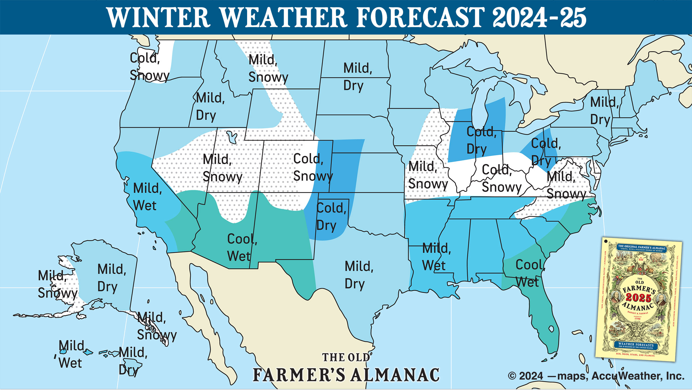
The Almanac goes on to reveal that temperatures won’t be especially frigid, staying above normal this winter. In other words, mild. The coldest temperatures will come in late November and late January.
Coin Flip
Long-range outlooks are always a crapshoot, sometimes even short-range forecasts are known to bust. I like the odds with a La Nina of seeing at least a normal winter’s snowfall around here, or better. Recent winters here in Jackson Hole have produced way more snow than I wanted to shovel, along with plenty of powder to ski, during El Nino and La Nina years.
One last bit of snowfall trivia: 8 out of the top-ten snowiest winters at the Jackson Hole Mountain Resort occurred within the last 15 years. Five of those top-ten winters happened within the last six years. Two winters ago, 2022-23 ranked as the second snowiest on record. The winter of 2021-22 was the only year in the last six that had below average snowfall on the mountain. Question is, does the snowy trend keep rolling, or are we due for a bust?
Post by meteorologist Jim Woodmencey
Nov. 24, 2024
Teton 22NOV24
Mount Moran
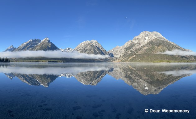
Leigh Lake Reflections
Westside Grand Fall 2024
Pack Trail Fire
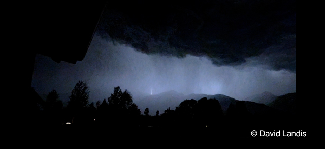
Storm Clouds at night